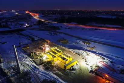
Post construction retaining wall
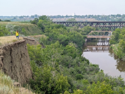
West Fraser Road post flood
Post construction
West Fraser Road post flood
Post construction
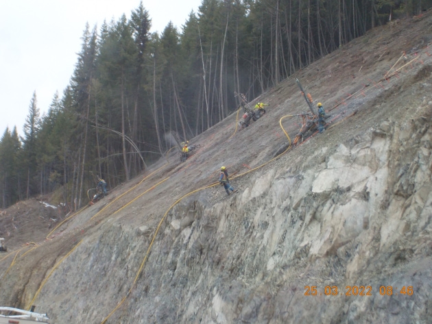
Photo_2.JPG
Client
BC Ministry of Transportation and Infrastructure
Sector
Transportation
Services
Geohazards, Geological Engineering
Reconnecting communities.
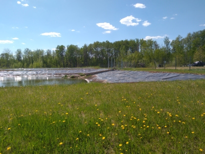
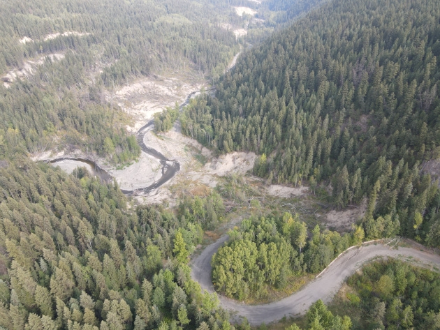
In late March 2015, heavy rainfall on melting snow caused high volumes of surface runoff and high stream flows in the Quesnel area of British Columbia. This resulted in numerous washouts and slides. GeoNorth Engineering (now part of Thurber) visited several sites as part of the emergency response, including West Fraser Road at Narcosli Creek. The team assessed site conditions, provided recommendations for reopening several roads to the public, and developed plans to mitigate erosion, improve slope stability, and reconstruct highway embankments.
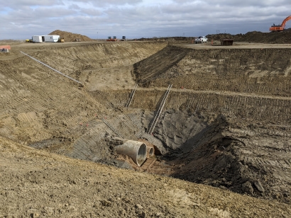
In May 2018, erosion from another large flood event in Narcosli Creek caused multiple washouts and renewed landslide movement. This event closed West Fraser Road.
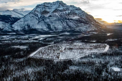
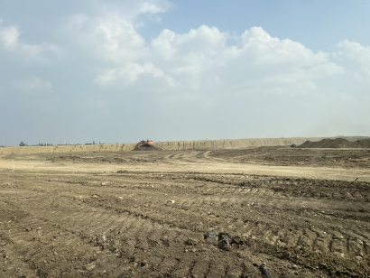
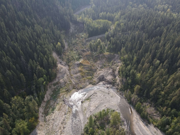
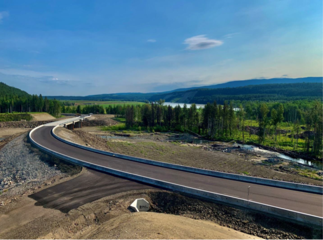
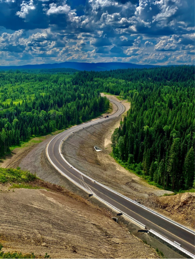
GeoNorth was asked by the BC Ministry of Transportation and Infrastructure (BCMoTI) to provide geotechnical recommendations to reopen the road. A review of the existing alignment showed that re-establishing the existing road would be expensive and require filling into the creek or cutting into the toe of large historic landslides, both undesirable options that would still result in an alignment with low reliability. As a result, the design team evaluated 10 alternative alignment options to assess each option’s susceptibility to geohazards, constructability, and reliability over their service life. The evaluation of each alternative included a geological overview assessment that consisted of terrain hazard mapping and a field assessment . The design team recommended a new 5.5 km long alignment that follows the height of land and avoids the active landslides found throughout the Narcosli Creek valley. The recommended alignment was approved by BCMoTI and constructed with completion in 2023.
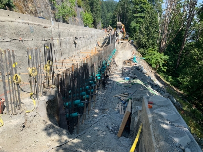
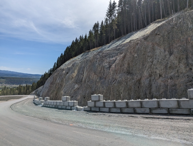
The new alignment includes about 1.6 km of rock cuts up to 30 m deep. The depth of the overburden over bedrock varies but is typically about two metres and in areas where slopes are steeper than 1.5H:1V, the overburden was stabilized using mesh held in place by soil nails. Trim blasts and scaling were recommended for removing loose fragments and large overhanging wedges. Tensioned rock bolts and mesh were used as spot treatments for rock cut stabilization. A new 122 m long, four-span bridge supported on steel pipe pile foundations was required to span Narcosli Creek and the flood plain. Flows in a stream at the south end of the project were conveyed below a 15 m high embankment through a 2,430 mm diameter by 78 m long Structural Plate Corrugated Steel Pipe (SPCSP) culvert constructed on soft soil susceptible to consolidation settlement. The culvert was cambered to accommodate about 500 mm of settlement, slightly less than the calculated amount.
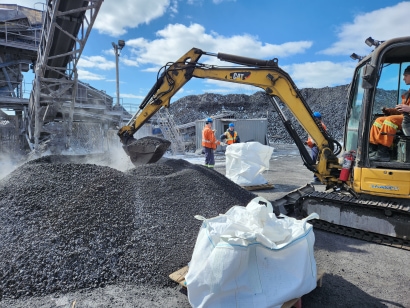
During construction, GeoNorth carried out and coordinated field reviews. Items reviewed included temporary bridge foundations, piles for permanent bridge foundations, soil nail installation and testing, rock cuts with recommendations for stabilization using trim blasts, anchors and mesh, excavation slope stability, quarry development, subgrade review and review of porewater pressures and settlement of the 15 m high fills constructed over Winnie Creek.
Construction was completed in 2023.
PROJECT HIGHLIGHTS
Related Projects