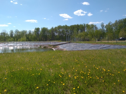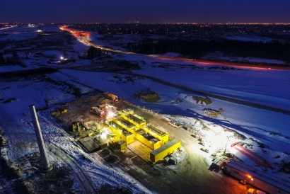
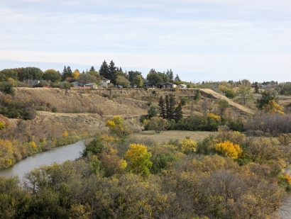
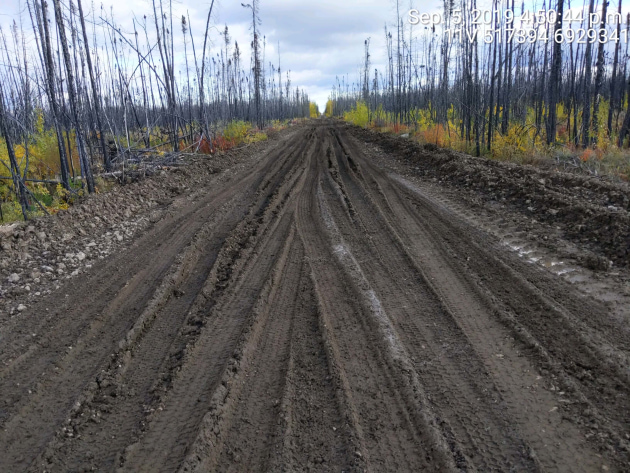
The road: before
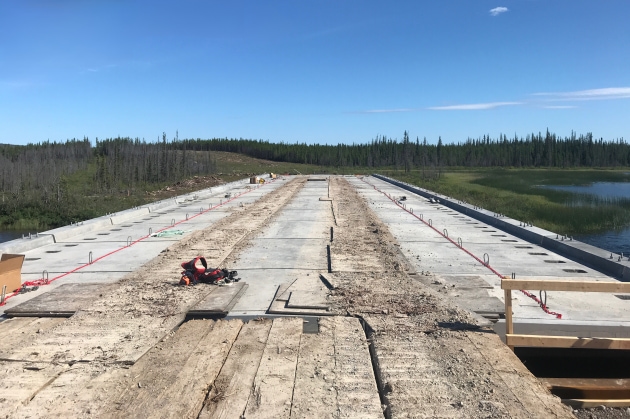
Construction progresses
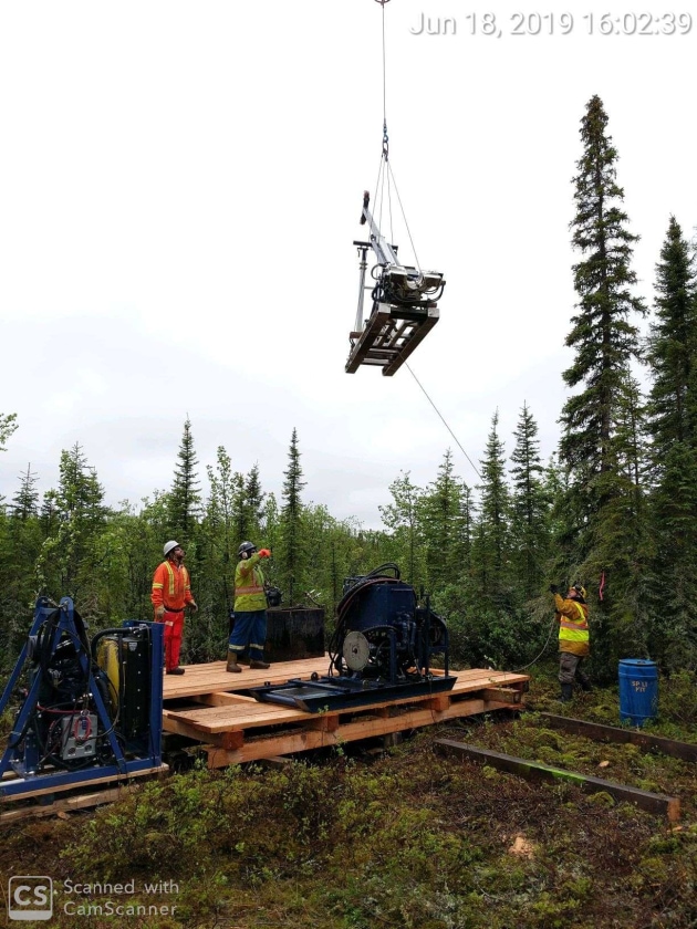
Challenging conditions
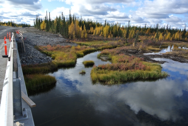
Beautiful views
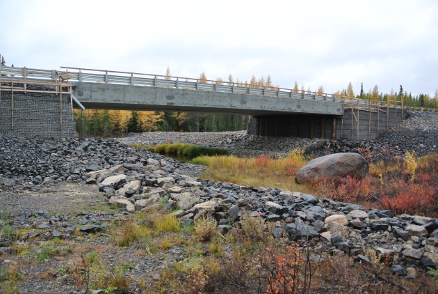
James Bridge
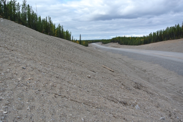
Big sand cut
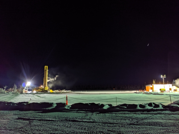
Winter piling
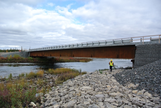
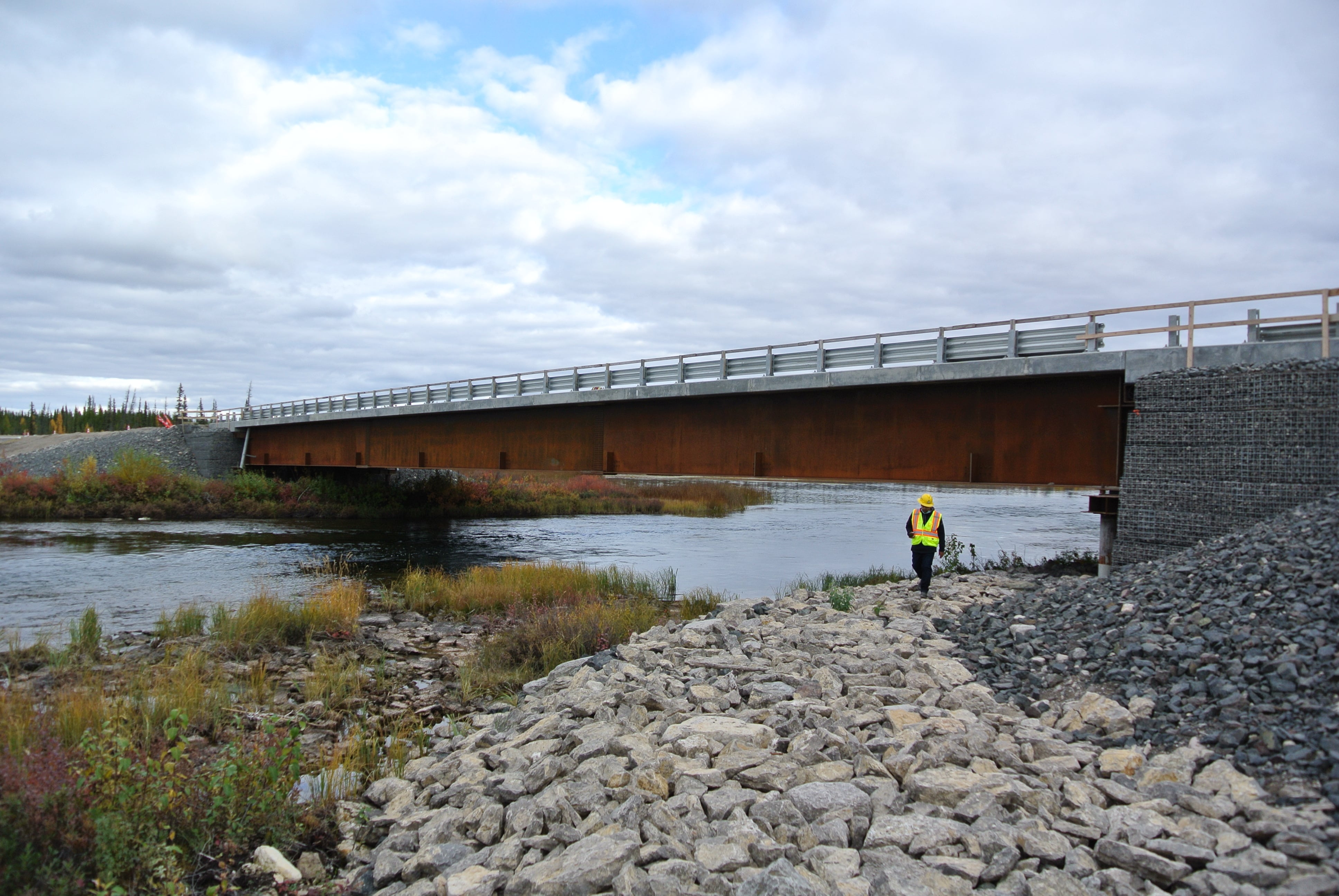
La Martre Bridge
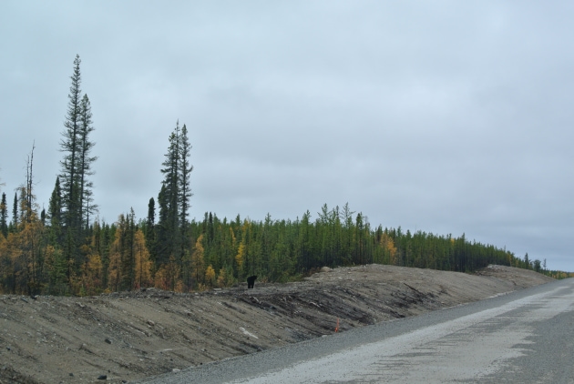
Bear_2.JPG
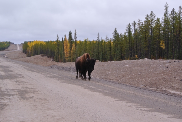
Buffalo_Inspecting_Finished_Roadway.JPG
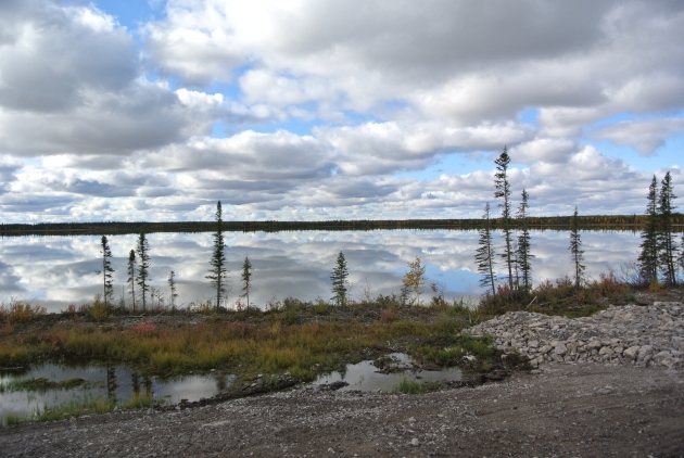
Site views
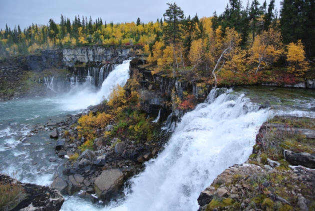
La_Martre_Falls.JPG
Client
Hatch
Sector
Transportation
Services
Geotechnical Engineering, Award Winning
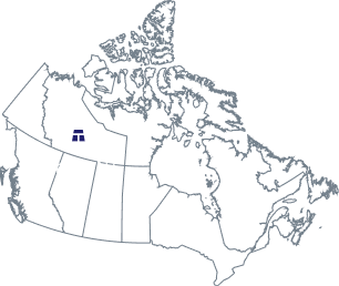
Whatì is a First Nations community located about 164 kms from Yellowknife.
Historically accessible only by air or by a seasonal winter road, the community is now connected to the national highway system year-round through the Tłı̨chǫ All Season Access Road (TASR) - also known as the Tłı̨chǫ Highway, or Highway 9.
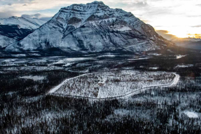
Delivered as a design-build, finance, operate, and maintain (DBFOM) project by North Star Infrastructure GP, a joint venture with Kiewit, the TASR comprises 96 km of two-lane gravel highway, 15 water crossings (four requiring bridges), one arch culvert, and one large culvert. The alignment follows the route of the historic winter road, crossing terrain shaped by discontinuous warm permafrost and extensive muskeg.
Thurber provided geotechnical engineering services as a subconsultant to Hatch, which was engaged to deliver design services for the project.
Thurber's services
- Performed terrain and geomorphological analysis using stereo aerial photography, lidar data, drone imagery, and geophysical survey results
- Conducted geotechnical site characterization using hand auger and drill rig investigations at roadway and bridge locations
- Interpreted geophysical survey data (CCR and GPR) to map permafrost distribution and subsurface conditions
- Developed a GIS-based subgrade model integrating terrain mapping, borehole data, and remote sensing information
- Characterized soil and permafrost conditions along the full roadway alignment
- Developed roadway embankment design recommendations for varying terrain and soil conditions
- Performed settlement analyses considering thaw-sensitive permafrost, muskeg, and soft ground subgrades
- Completed slope stability assessments for roadway embankments
- Evaluated foundation design requirements for bridge crossings and an arch culvert
- Recommended geosynthetic reinforcement and subgrade stabilization measures
- Assessed impacts of construction activities and climate change on long-term embankment performance
- Provided construction-phase geotechnical support and refined designs based on observed conditions
Notable Project Challenge
The TASR corridor traverses remote, undeveloped sub-arctic terrain, including discontinuous warm permafrost, muskeg, saturated soils, glacio-lacustrine deposits, and bedrock ridges. Limited site access, particularly during early project phases, made conventional geotechnical investigation spacing impractical, while subsurface data remained incomplete. The design team needed to characterize highly variable ground conditions and manage geotechnical risk across the full alignment - including 15 water crossings - before comprehensive field data was available.
Thurber developed a comprehensive, GIS-based subgrade model by integrating aerial imagery, lidar, geophysical survey data, and available borehole information into a single continuous interpretation of expected soil behaviour along the corridor. This model enabled the identification of permafrost zones, weak organic deposits, and settlement-prone areas well ahead of full site access, directly informing embankment and foundation design recommendations.
This approach allowed the design and construction team to:
- Develop preliminary designs and support bid-stage cost estimating under conditions of significant subsurface uncertainty
- Evaluate borrow material requirements across the alignment
- Establish construction cost estimates during early project phases
- Prioritize field investigations where they would add the most engineering value
As construction progressed and site access improved, Thurber refined the geotechnical designs using newly collected field data, ensuring engineering solutions remained responsive to actual ground conditions encountered along the route.
Project Outcome
Thurber's geotechnical characterization and design work - spanning preliminary bid development through detailed design and construction-stage refinement - supported the successful delivery of the TASR under challenging sub-arctic conditions. The completed highway now provides Whatì with permanent, year-round road access to the national highway network, a transformative infrastructure milestone for the community.
PROJECT HIGHLIGHTS
Related Projects