.jpg)
From steep mountain corridors and remote pipeline routes to transportation networks and growing communities, Canada’s infrastructure is constantly exposed to geologic risk. Landslides, rockfall, debris floods, avalanches, erosion, and climate-driven slope instability can threaten public safety, disrupt transportation, and damage critical infrastructure.
Since 1957, Thurber has helped clients understand and manage these risks. Our geohazards specialists combine geological engineering, geotechnical engineering, remote sensing, numerical modelling, and field investigation to develop practical solutions for some of Canada’s most challenging terrain.
What is a geohazard?
Geohazards are natural geological processes that can negatively affect infrastructure, the environment, or communities. In Canada, these hazards are becoming more frequent and severe as climate patterns shift, increasing the importance of proactive risk management.

Understanding geohazards before they become emergencies
At Thurber, our teams assess and manage a wide range of geohazards, including:
- Landslides
- Rockfall
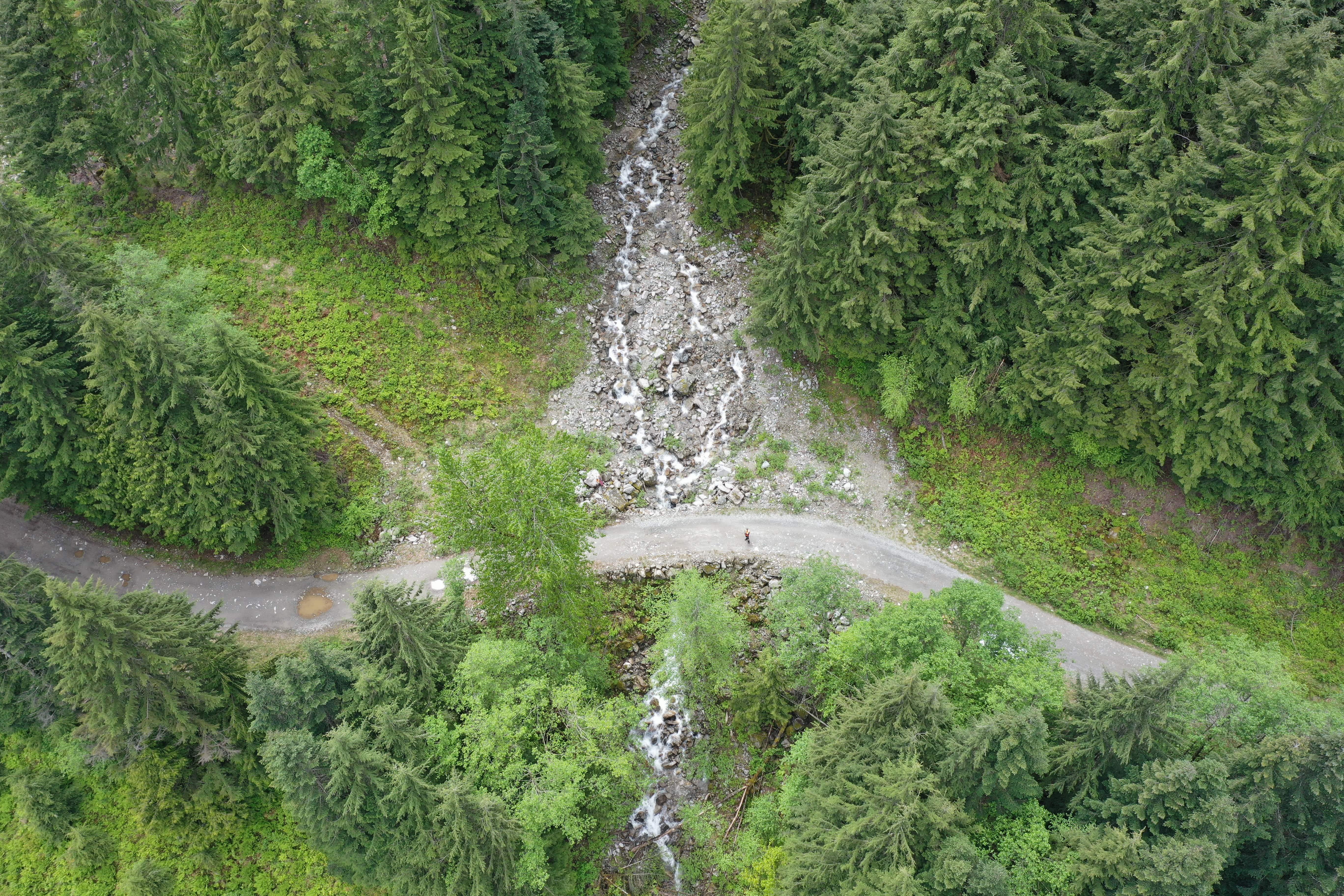
- Debris flows and debris floods
- Avalanches
- Erosion and scour
- Flood-related instability
- Seismic hazards
- Climate change-driven slope instability
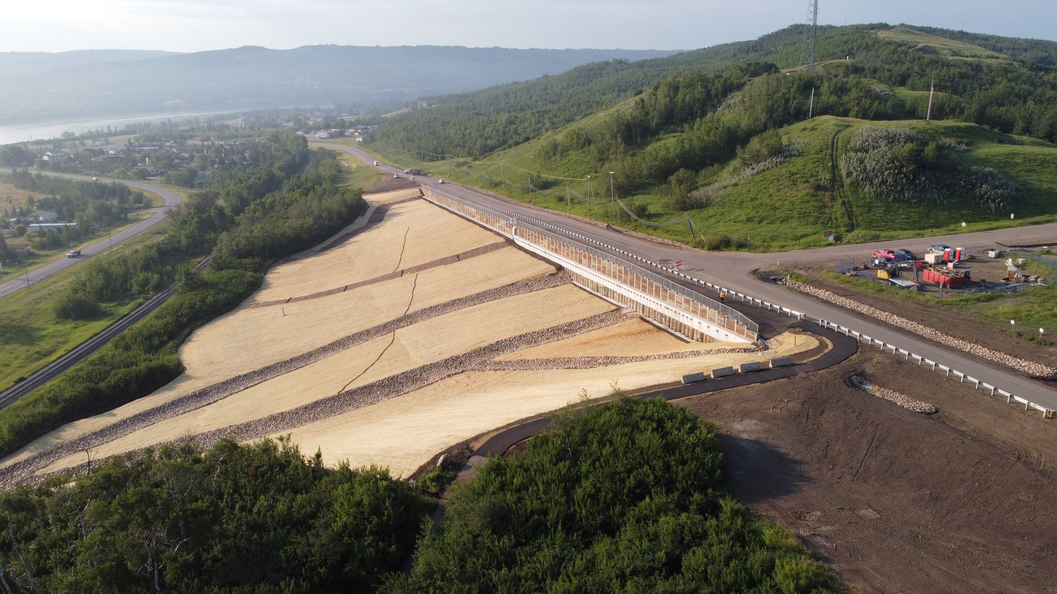
Our work supports transportation corridors, pipelines, dams, railways, municipal infrastructure, mining projects, and land development across the country.
Rather than reacting after failures occur, Thurber focuses on helping clients identify risk early, prioritize mitigation measures, and develop long-term management strategies that improve safety and reduce operational disruption.
Emergency response following major climate events
We provide emergency response support following major climate events that impact highways, railways, pipelines, and other linear infrastructure. In these situations, rapid mobilization and practical engineering solutions are critical to reopening services safely and minimizing disruption to communities and industry.
Combining field expertise with advanced technology
Many geohazard sites are located in steep, remote, or difficult-to-access terrain. Thurber’s teams use a combination of traditional field investigation methods and advanced technology to evaluate hazards efficiently and accurately.
Our geohazards toolbox includes:
- LiDAR terrain mapping
- Drone reconnaissance and photogrammetry
- InSAR satellite monitoring
- Airphoto interpretation
- GIS-based terrain analysis
- Instrumentation and telemetry systems
- Advanced numerical modelling
- Ground movement monitoring
These tools allow our engineers and geoscientists to better understand slope behaviour, detect movement over time, and support informed decision-making for infrastructure owners.
Remote sensing and monitoring technologies are especially valuable for identifying subtle changes in terrain conditions before major failures occur. In many cases, these systems provide real-time information that supports rapid response decisions and helps protect public safety.
A National Team with Local Experience
With offices across Canada and decades of experience working in diverse geological environments, Thurber brings both national expertise and local knowledge to geohazard projects.
Our engineers, geoscientists, technologists, and field teams understand the challenges associated with working in remote terrain, harsh weather conditions, and operationally complex environments. Whether responding to an emergency landslide, evaluating long-term slope movement, or supporting the design of major infrastructure projects, our focus remains the same: helping clients manage risk and build resilient infrastructure.