Thurber’s Expertise
Stable and Sustainable Structures
We support our clients by providing a complex understanding of how rock, soil, and other earth materials interact with human-made structures. We offer specialized knowledge and experience in foundation engineering, earthquake geotechnique, pile load testing, embankments on soft soils, dams and tailings facilities, retaining wall design, tunnelling and trenchless technology, and more.
Our geotechnical engineers work with our geoscientists, hydrogeologists, environmental scientists, materials engineers, and pavement engineers to address ground-related challenges.
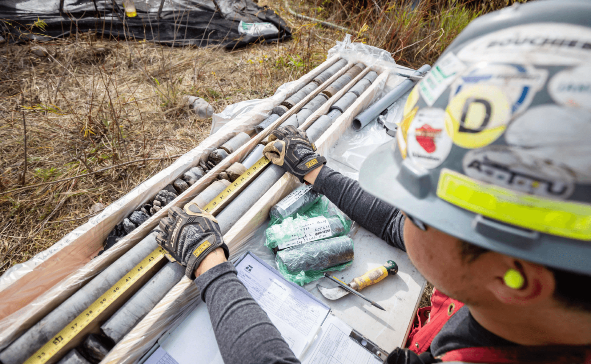
Understanding the local geological conditions is key to developing appropriate designs and managing project risk during construction. We are skilled in developing, planning, and executing geotechnical investigations of all sizes and complexity. The information obtained from a geotechnical site investigation helps assess the stability, safety, and suitability of the site for its intended purpose. We provide geotechnical site investigations as a prime contractor or as a subconsultant.
Soils such as clay, silt, and peat undergo significant settlement and deformation when subjected to loads. Thurber’s engineers design mitigation measures to enhance the safe and reliable performance of human-made structures constructed over soft ground. These mitigation measures include ground improvement methods, specialized foundation systems, and applying geosynthetics to enhance the soil’s strength, stability, and load-bearing resistance.
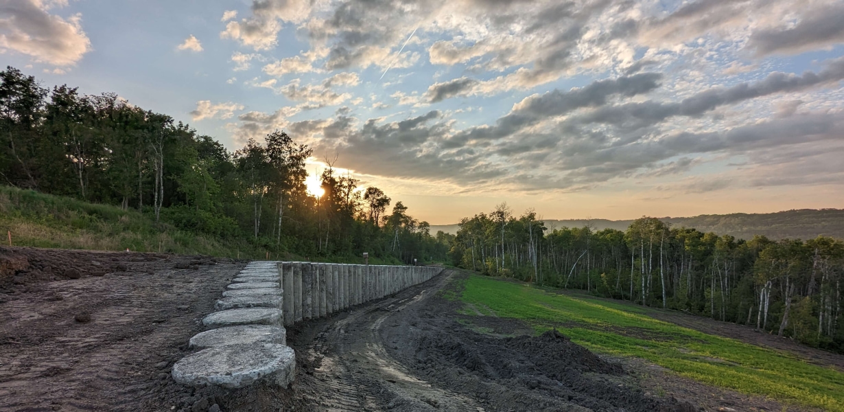
We design retaining structures that prevent soil erosion, stabilize slopes and embankments, and protect roads and railways built on unstable slopes. Retaining structures also protect construction workers during excavations.
The design of a retaining structure takes into account many factors - the type of soil, the slope angle, water drainage condition, loads, and potential seismic activity.
Our experience includes site investigations, lateral earth pressures, design parameters for gravity, cantilever and modular block walls, MSE walls, geogrid reinforced slopes, anchored slope mesh, vegetated bag walls, tangent pile walls, sheet piles, shotcrete and anchor systems, and field inspection services.
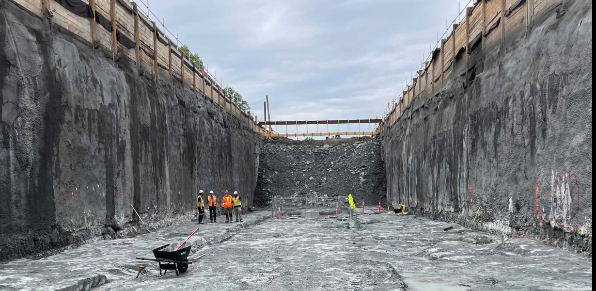
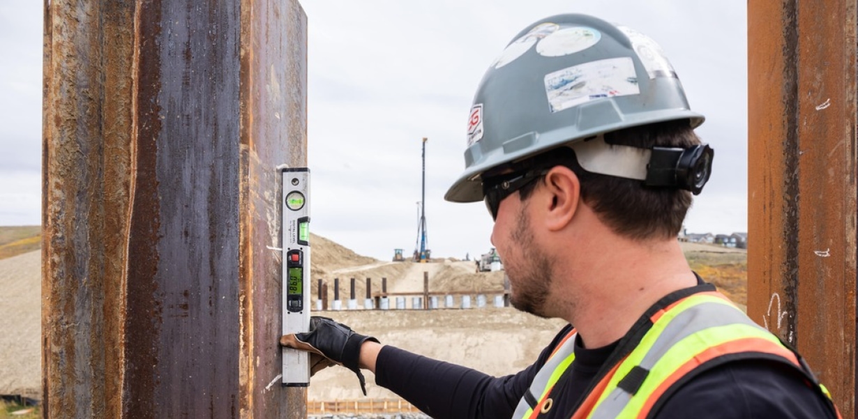
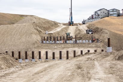
Foundation engineering requires an assessment of the ground conditions and the selection of the most appropriate method, to transfer the loads into the ground while limiting the impacts on the local environment. We provide complete geotechnical services including site investigation, ground improvement, foundation design, shoring and underpinning, liquefaction assessment, seismic design, materials engineering and testing (soils, rock, concrete, asphalt), and construction inspection.
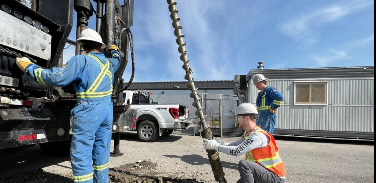
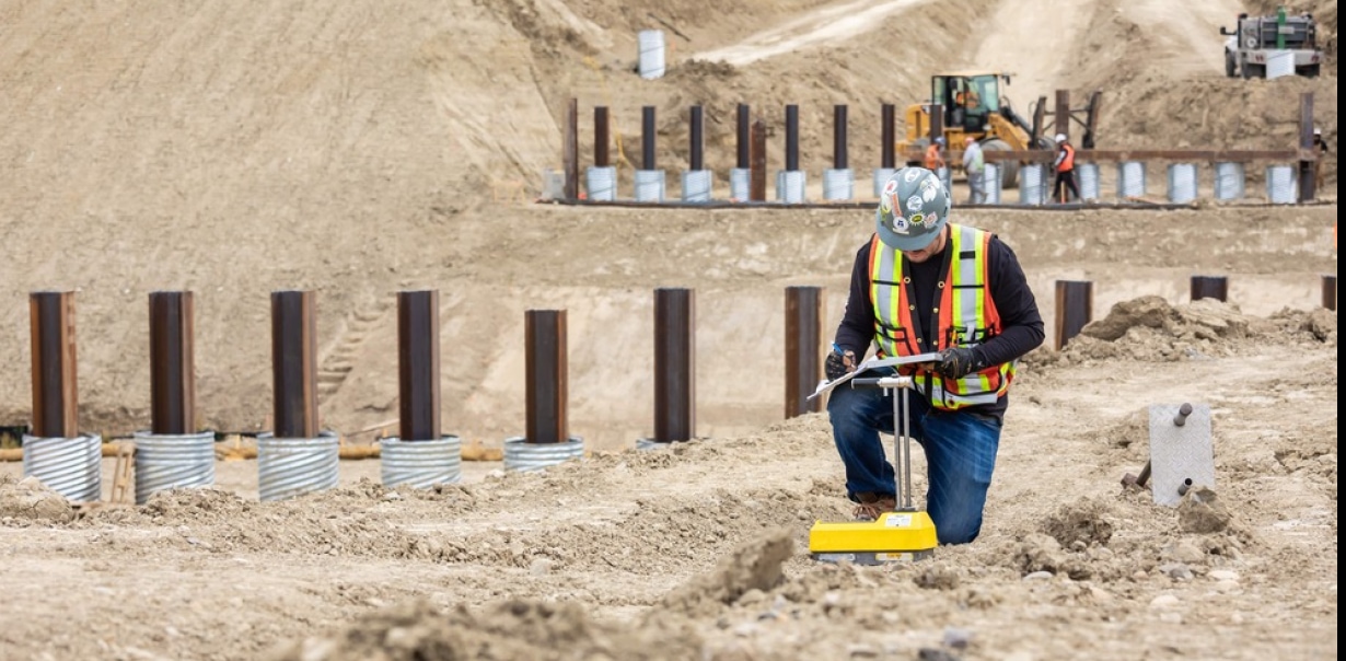
When a structure requires deep foundations due to poor soils, we provide deep foundation testing services including Pile Dynamic Testing, Pile Integrity Testing, and Thermal Integrity Profiling.
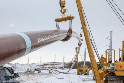
Thurber has undertaken geotechnical investigations for thousands of Horizontal Directional Drill (HDD) crossings in Western Canada. As a result of this broad experience, our team of trenchless professionals has experience with a wide range of ground conditions including artesian groundwater, abandoned coal mines, liquefiable soils, and permafrost.
Thurber works with our drilling and geophysical subcontractors to ensure the best geotechnical and geological model of subsurface conditions at a site can be determined in the most cost effective way.
Our trenchless professionals are focused on appropriately delineating the geological hazards and risks that would present a threat to achieving a successful HDD or the infrastructure to be installed.
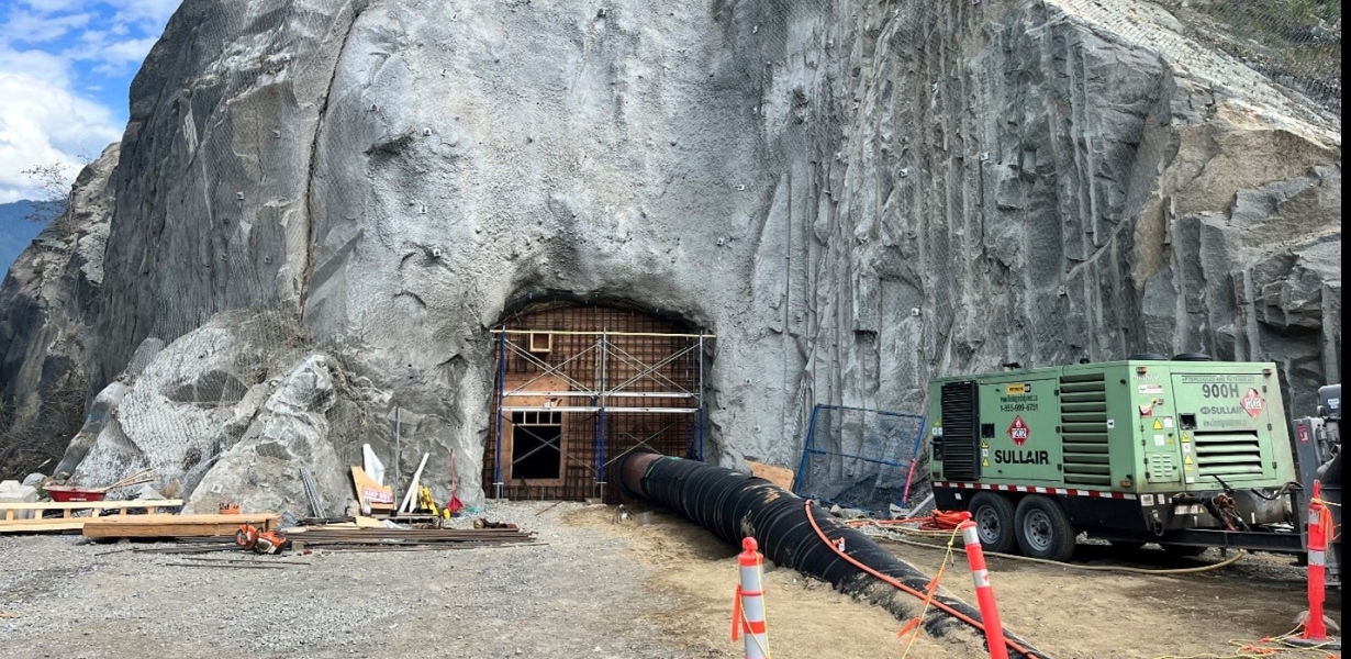
The completion of new underground infrastructure often requires the use of tunnels and trenchless techniques. Detailed investigation of soil, bedrock and groundwater conditions and assessment of relevant engineering properties (geotechnical baseline reports) are necessary to predict performance and assess the construction impact on adjacent structures.
Thurber supports tunnelling and trenchless projects through:
- Geotechnical assessment and investigation in soil and rock
- Feasibility studies
- Geotechnical design
- Geohazard assessment
- Slope stabilization
- Environmental assessment, including groundwater characterization
- Vibration monitoring
- Construction QA/QC and instrumentation monitoring
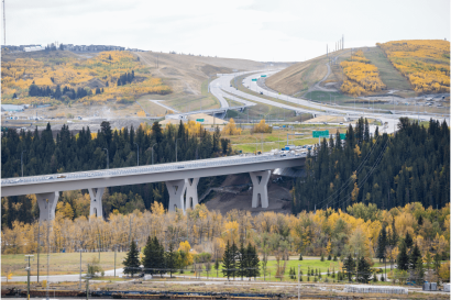
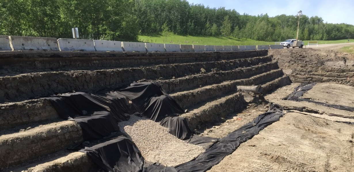
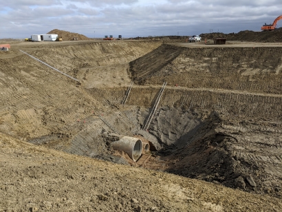
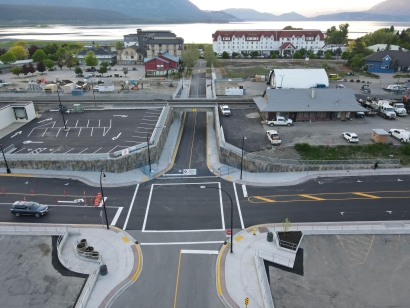
Earthworks projects typically involve the construction of roads, railways, dams, pipelines, dikes, mines, and landfills where geotechnical assessment is crucial to the success of the project. Thurber has extensive experience in terrain assessment, drilling investigations, laboratory testing, slope stability analysis, staged construction and wick drains, ground improvement techniques, field instrumentation and monitoring, erosion control, in-situ permeability testing, and materials and construction QA/QC.
Slope stability engineering encompasses the assessment of static and dynamic stability of natural and man-made slopes in soil and rock, and development of mitigation measures. It requires a multi-disciplinary knowledge of geology and geomorphology, soil and rock behaviour, and analytical methods such as limit equilibrium and numerical methods. Thurber’s expertise includes identification of landslide triggering mechanisms, deterministic and probabilistic landslide hazard assessments, debris flows, and seismic related phenomena such as earthquake-induced slope movements and liquefaction.
We provide:
- Terrain assessment and mapping
- Slope stability analysis
- Laboratory testing
- Design and inspection of remedial measures and stabilization works
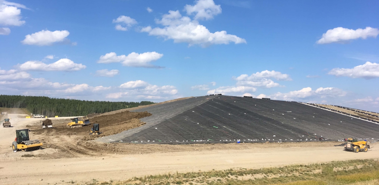
Improperly designed landfills can leach contaminated liquids (leachate) into the surrounding environment, including groundwater. To prevent leachate from entering the environment, landfills use various liners to create barriers that minimize environmental contamination. Thurber’s environmental and geotechnical engineers help design appropriate liners, conduct geotechnical investigations to understand soil permeability, bearing capacity, settlement potential, and slope stability, as well as advise on compaction requirements and construction techniques.
Thurber also provides long-term groundwater monitoring as part of landfill closure planning.
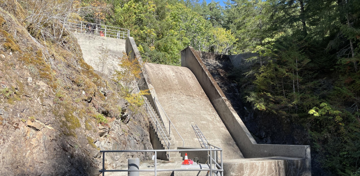
Many infrastructure projects face seepage issues; dam stability can be undermined by seepage flow underneath and below the dam, retaining walls can be affected by water flowing through the
surrounding soil, and landfills can seep leachate into the environment. By understanding seepage patterns and potential risks, Thurber’s engineers can design and implement appropriate
measures to control seepage and prevent slope instability, erosion, and degradation of structures.
Thurber offers a wide range of construction monitoring services to determine the conformance of construction procedures and materials to the project specifications, design assumptions, and good construction practices.
Select services include:
- Pile construction monitoring and load testing
- Vibration monitoring for active construction near critical infrastructure
- Soil proof rolling
- Earthwork construction monitoring and compaction control
- Concrete placement monitoring and testing
- Asphalt placement monitoring and testing
- Precast concrete production monitoring
- Road construction monitoring
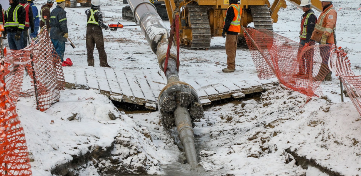
- Pipeline construction monitoring
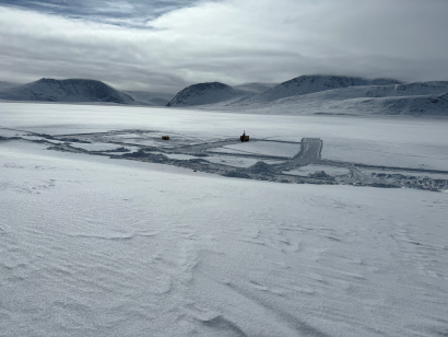
Thurber has extensive experience in incorporating remote sensing techniques into geohazard assessment and management programs. Remote sensing helps us understand the environment, monitor changes over time, and make informed decisions - from afar. Our technical expertise can help with selecting the right tool for the application as well as scoping the data collection and analysis methods.
Our remote sensing tools include:
AIRPHOTO INTERPRETATION
Airphotos provide valuable insight into the earth’s surface and subsurface characteristics. Our geotechnical engineers and geoscientists use airphotos to gather essential information about topography, landforms, and geological features (gullying, soil types, soil moisture content, land use type) to help our clients understand potential risks such as landslides. Airphotos also help locate and assess the suitability of construction sites, determine soil types, and understand the spatial distribution of geological formations.
INSTRUMENTATION TELEMETRY
Using instrumentation tools like inclinometers (to measure slopes) and peizometers (to measure water pressure in the ground), we can understand how the ground and structures are behaving over time and under different conditions. This helps us ensure the safety and stability of a structure and allows for proactive decision making to prevent disasters
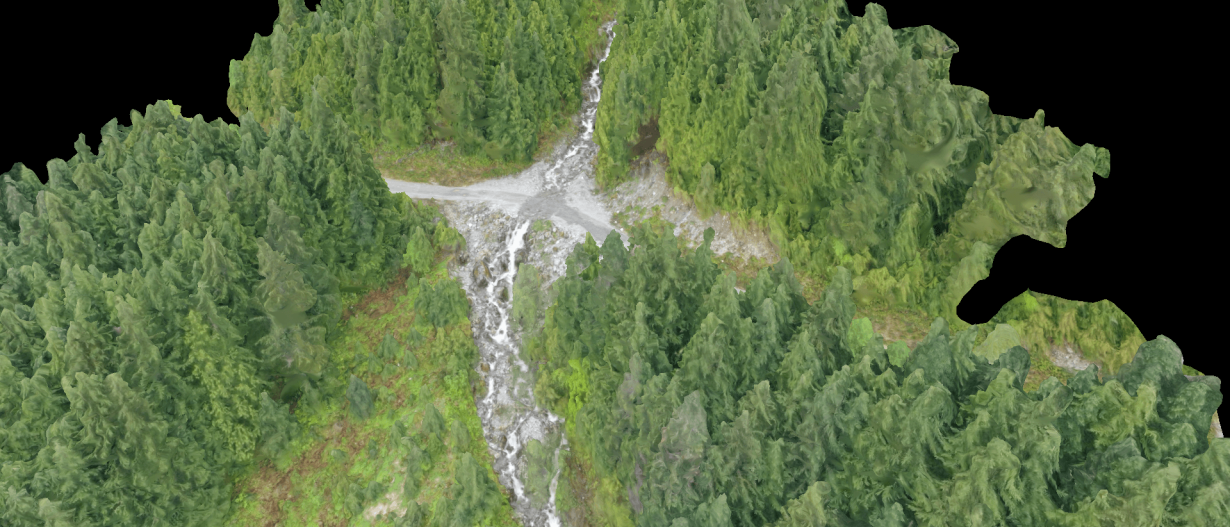
LIDAR
Light detection and ranging (LiDAR) gathers precise and detailed data about the earth's surface and subsurface. It uses pulses to measure the distance between the LiDAR sensor and objects and creates accurate 3D models of the terrain. Thurber uses this information to understand a site's topography and any potential hazards such as landslide risk or floods. We often combine our LiDAR mapping with ground penetrating radar to understand the shallow subsurface layers and gain better insight into soil properties and potential construction challenges. This allows us to help our clients plan construction projects.
DRONE OBSERVATION
Thurber's certified drone pilots gather high quality photos to complement or replace observations from helicopter or the ground. Drones are a cost-effective way to access difficult-to-reach sites such as high bridge decks or hazardous areas.
INSAR
Interferometric synthetic aperture radar (InSAR) uses satellite technology to take pictures of the ground over different times and compares them to detect differences. This helps us understand if the ground has moved or changed, and therefore if structures are at risk.
PHOTOGRAMMETRY
Thurber uses photogrammetry to create accurate 3D models or measurements of objects and environments using photographs. Photogrammetry helps us identify distinct features in the landscape and calculate the distance between points.
Advanced numerical modelling uses sophisticated computer-based techniques to simulate and analyze the behaviour of soil and rock in complex situations. Thurber’s engineers use a combination of specialized geotechnical software and 2D/3D software suites to assess a variety of geotechnical applications including:
- Slope stability
- Settlement and lateral deformation
- Seismic and dynamic site response
- Single and group pile capacity and movement
- Foundation design
- Excavation shoring and anchor performance
- Tunnel performance
- Seepage and groundwater flow
- Liquefaction resistance
- Debris flows
- Rock falls
Our engineers work closely with our advanced geotechnical laboratory to collect the appropriate information to develop the numerical models. The program then creates a virtual representation of the system. This virtual model can simulate various scenarios and predict how the system will behave under different loading conditions. Numerical models allow for the exploration of scenarios that are difficult or expensive to replicate in real life.
These models help our engineers evaluate different design options, identify potential issues, optimize design, and develop solutions during design and construction.
FEATURED PROJECTS
_(1).jpg?resize=410x0)
-min.png?resize=410x0)